
service-k2
3D terrain server for Cesium tiles
Overview
service-k2 is a lightweight service that exposes different endpoints related to terrain data:
- a 3D terrain tiles endpoint that lets you access quantized meshes stored in MBTiles for Cesium,
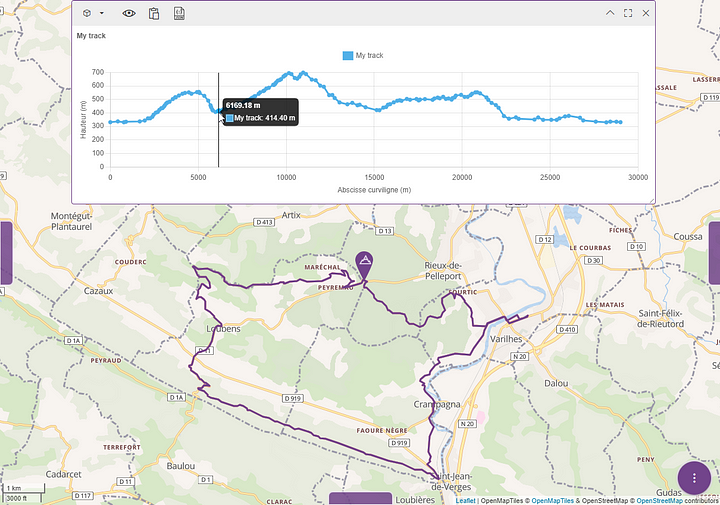
- an elevation endpoint that lets you compute the elevation of the terrain under a linear geographical element.
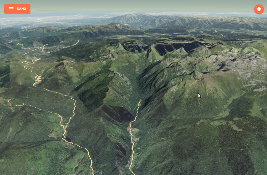
For 3D terrain tiles, the service always serves a single terrain file on the root path (/), taken from the TERRAIN_FILEPATH environment variable (default /mbtiles/terrain.mbtiles). In addition, if the TERRAIN_FOLDER environment variable is set, every *.mbtiles file found in that folder is also served, each under a path derived from its basename.
WARNING
Serving the single TERRAIN_FILEPATH file is always active, even when TERRAIN_FOLDER is set. That file must therefore exist, otherwise the service fails to start.
Data
service-k2 needs data to serve, and its two features rely on different datasets — so to run the service locally (or in production) you have to provide the data for whichever feature you want to use:
3D terrain tiles are served from quantized-mesh
.mbtilesfiles, configured throughTERRAIN_FILEPATHorTERRAIN_FOLDER(see Configuration). See Converting GeoTIFF to MBTiles to produce them.Elevation computation reads a Digital Elevation Model (DEM/MNT) in a GDAL-readable format (GeoTIFF or VRT). By default the DEM is picked from
/mbtilesdepending on the requested resolution:Resolution DEM file < 250 m/mbtiles/srtm.vrt< 500 m/mbtiles/GMTED2010/mx75.tif< 1000 m/mbtiles/GMTED2010/mx15.tifotherwise /mbtiles/GMTED2010/mx30.tifYou can bypass this selection with the
demOverrideparameter, resolved relative to/mbtiles. Note that this/mbtilesroot is not configurable through an environment variable. The/elevationendpoint also requires GDAL (gdalwarp) to be installed on the host or image at runtime.
Installation
Install with your preferred package manager:
pnpm add @kalisio/service-k2npm install @kalisio/service-k2yarn add @kalisio/service-k2Configuration
Here are the environment variables you can use to customize the service:
| Variable | Description | Defaults |
|---|---|---|
PORT | The port to be used when exposing the service | 8080 |
BODY_LIMIT | The size limit of the request body | 100kb |
TERRAIN_FILEPATH | Path to a single terrain .mbtiles file (single-file mode) | /mbtiles/terrain.mbtiles |
TERRAIN_FOLDER | Path to a folder of *.mbtiles terrain files (multi-file mode) | - |
API
The HTTP API exposed by service-k2 is documented on the API reference page.
Testing
The test suite uses Vitest and exercises the elevation computation against a bundled DEM through GDAL. It is skipped automatically when GDAL is not installed.
To run the tests, use the test script:
pnpm testConverting GeoTIFF to MBTiles
- Run a cesium-terrain-builder-docker container with a volume mounted on the folder with your GeoTIFF files:
docker run -it --name ctb -v "./path/to/geotiff/:/data" tumgis/ctb-quantized-mesh- Build a virtual dataset with all of the GeoTIFF files:
gdalbuildvrt dataset.vrt /data/*.tif- Reproject data to EPSG:4326:
gdalwarp -s_srs EPSG:2154 -t_srs EPSG:4326 dataset.vrt dataset-EPSG4326.vrt- Build overview images:
gdaladdo -r average dataset-EPSG4326.vrt 2 4 8 16- Generate quantized meshes with cesium-terrain-builder-docker:
ctb-tile -f Mesh -C -N -o /target/path/for/generated/quantized/meshes/ dataset-EPSG4326.vrt- Generate
layer.json:
ctb-tile -f Mesh -C -N -l -o /target/path/for/generated/quantized/meshes/ dataset-EPSG4326.vrt- Outside of the container, get the
quantized_mesh2mbtiles.pyscript from this project, and generate the MBTiles file from the quantized meshes:
python quantized_mesh2mbtiles.py /path/to/quantized/meshes/ terrain.mbtiles