Skip to content

Overview

The map module includes basic features to create web mapping applications: geocoding, data catalog, dynamic feature layers, 2D visualisation, 3D visualisation.
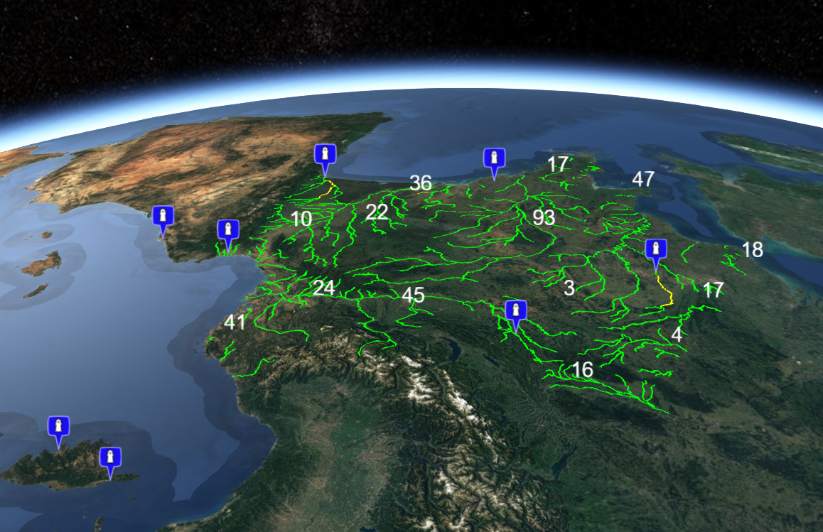
3D web mapping application built with the KDK

Utilities

Functions

Here are a set of utility functions:

  • generatePropertiesSchema (geoJson, name) generate a JSON schema from the given GeoJson features
  • fetchGeoJson (dataSource, processor) fetch GeoJson features from the given source and apply processor function (if any) on each feature
  • getNearestTime (time, times) find the nearest time of a given one in a given moment time list
  • getTimeInterval (times, mode = 'minimum') find the minimum or maximum time interval in a given moment time list

Store objects

The locationFormat property of the global store is used to have a shared location display format accross all mapping components with a dedicated UI to change settings using e.g. store.patch('locationFormat', 'FFf').

TIP

The location format object to be used for display supports formatcoords.

The timeFormat property of the global store is used to have a shared time display format accross all mapping components with a dedicated UI to change settings using e.g.

js
store.patch('timeFormat', {
  time: {
    short: 'H[h]',
    long: 'HH:mm'
  },
  date: {
    short: 'DD/MM',
    long: 'dddd D'
  },
  year: {
    short: 'YY',
    long: 'YYYY'
  },
  utc: false,
  locale: utils.getLocale()
})

TIP

The time format object properties to be used for display supports momentjs formats.

In addition, the global store contains the following defaults objects:

js
selection: {
  location: current picked position on map,
  feature: currently selected feature on map,
  layer: source layer of currently selected feature
}
// Default view settings
restore: {
  view: true,
  layers: false
}
// Default timeline parameters
timeline: {
  step: 60 // 1H
}
// Default timeseries parameters
timeseries: {
  span: 1440 // 24H
}

Geolocation

Your component can automatically retrieve the user's location on initialization or when he has logged in (the Geolocation API is used under-the-hood). The position, respectively error, is available in the position, respectively error, property of the geolocation object in the global store.

js
import { Geolocation } from '@kalisio/kdk/map.client'
// Launch a geolocation
await Geolocation.update()
const position = this.$store.get('geolocation.position')